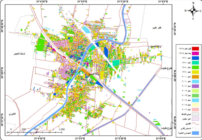
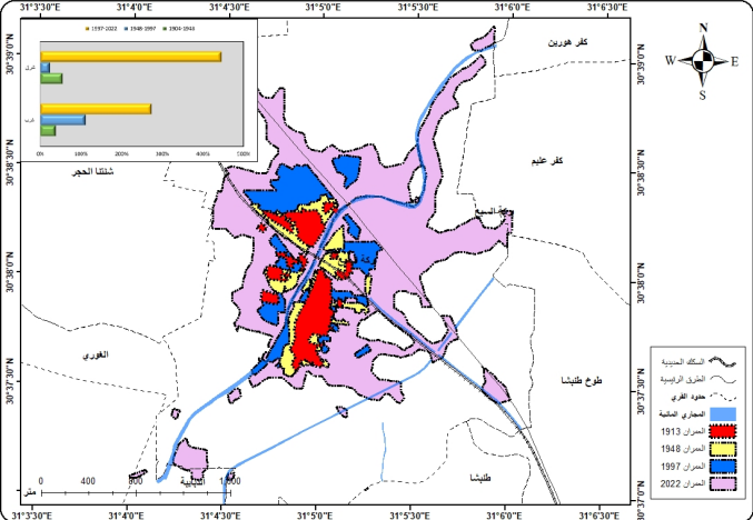
A map illustrating the development and expansion of urban areas over different time periods using Geographic Information Systems (GIS).
A Personal Portfolio and Professional Profile Website Dedicated to Showcasing Experience and Work, Without Generating Any Revenue or Serving Any Commercial Purpose.
Home > Blog
A map illustrating the development and expansion of urban areas over different time periods using Geographic Information Systems (GIS).
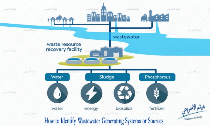
An applied study demonstrating the use of Geographic Information Systems (GIS) in analyzing infrastructure services and projects to support planning and decision-making.

An applied map demonstrating the use of Geographic Information Systems (GIS) to analyze and interpret spatial distributions and patterns.
Explore the latest articles and insights on Geographic Information Systems (GIS), Remote Sensing, and Spatial Data.