A Personal Portfolio and Professional Profile Website Dedicated to Showcasing Experience and Work, Without Generating Any Revenue or Serving Any Commercial Purpose.
A Personal Portfolio and Professional Profile Website Dedicated to Showcasing Experience and Work, Without Generating Any Revenue or Serving Any Commercial Purpose.
Projects Supporting Development Through Geospatial Information
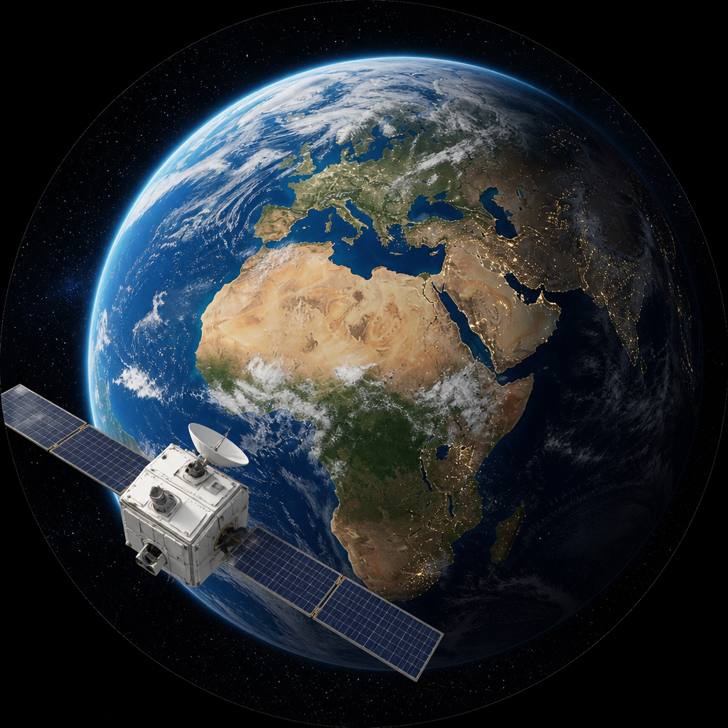
A collection of projects implemented in Geographic Information Systems (GIS), Remote Sensing, and Spatial Analysis to support informed decision-making and achieve sustainable development.
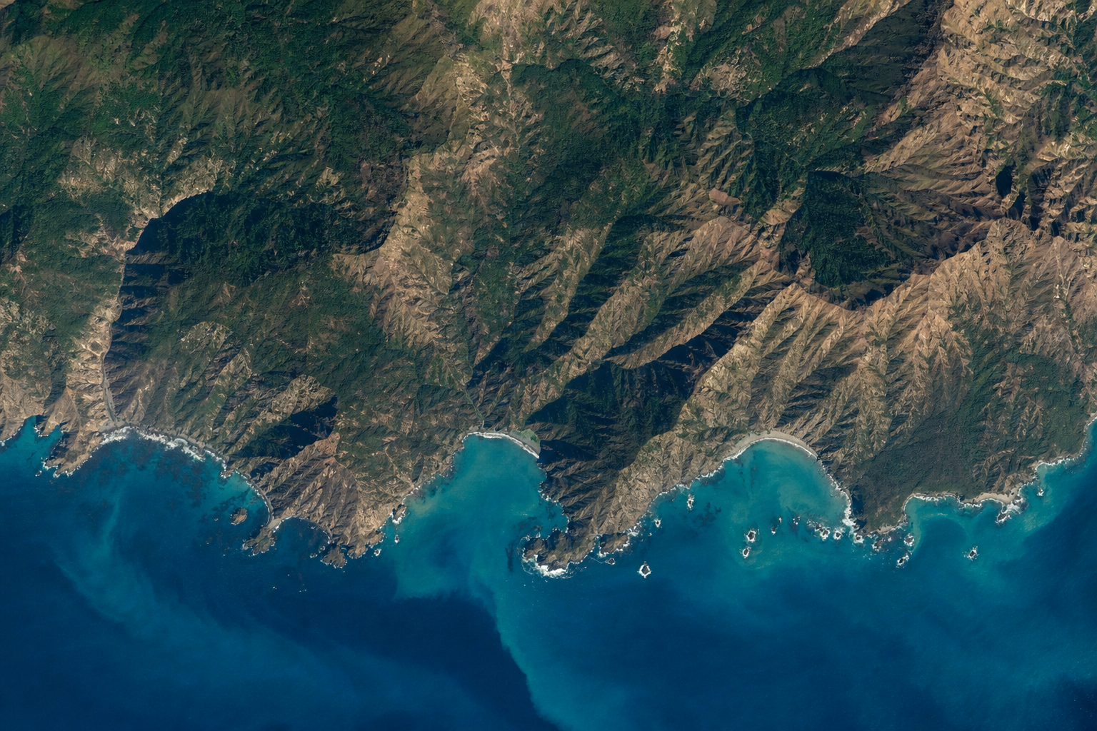
Satellite-Based Vegetation Monitoring
Calculating NDVI indices and tracking seasonal changes in vegetation cover.
Sinai
2023
Detailed Coastal Mapping
Creating thematic maps of coastal areas to support planning and resource management.
Alexandria
2022
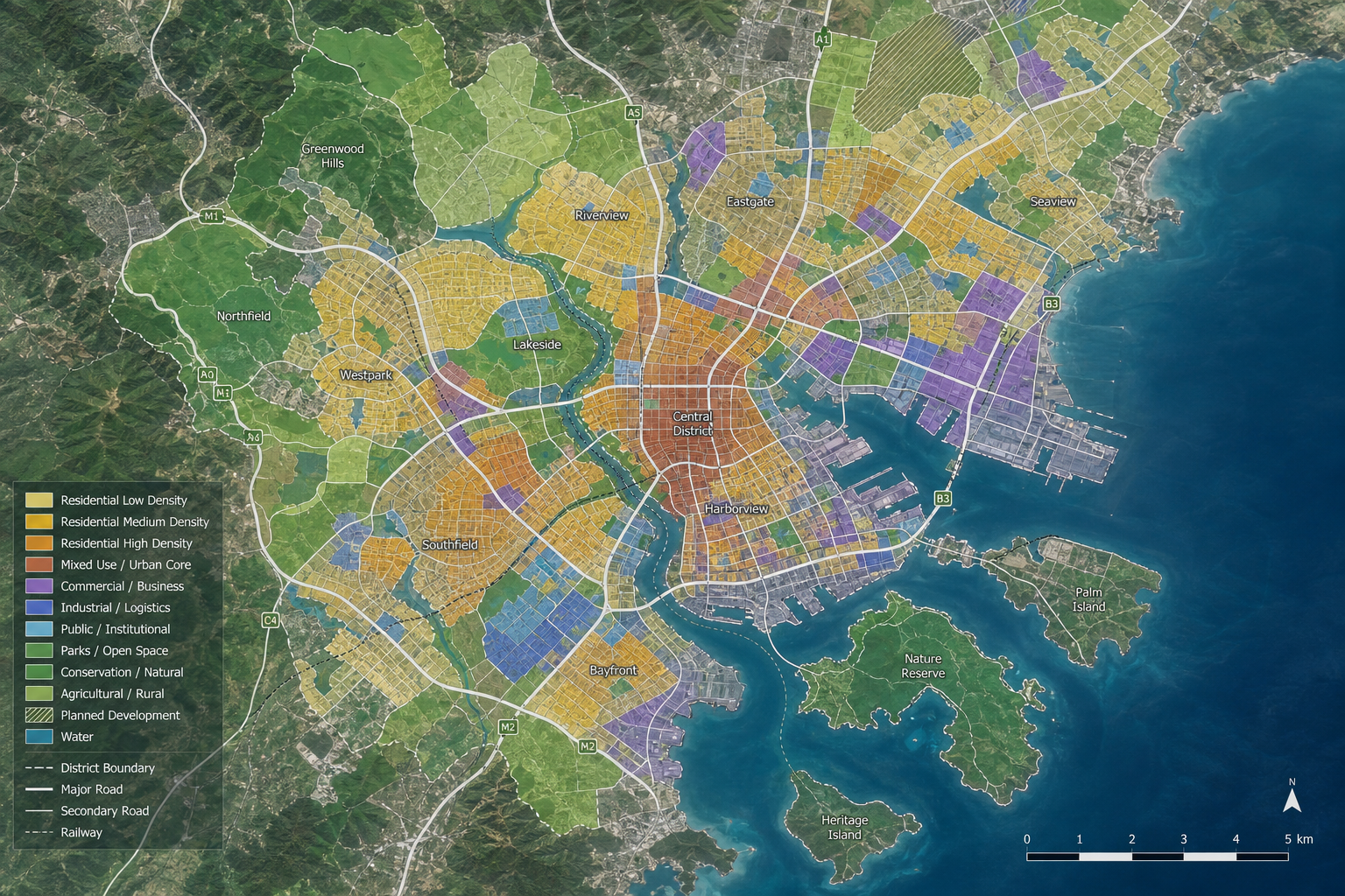
Land Use Planning
Analyzing land use patterns and identifying the most suitable areas for urban development.
Cairo
2023
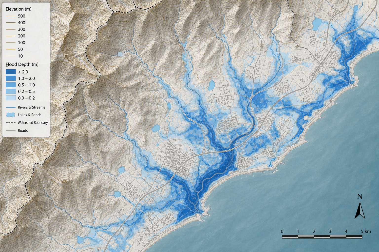
Coastal Flash Flood Risk Assessment
Modeling drainage basins and predicting flash flood risks using Digital Elevation Models (DEMs).
Beheira
2022
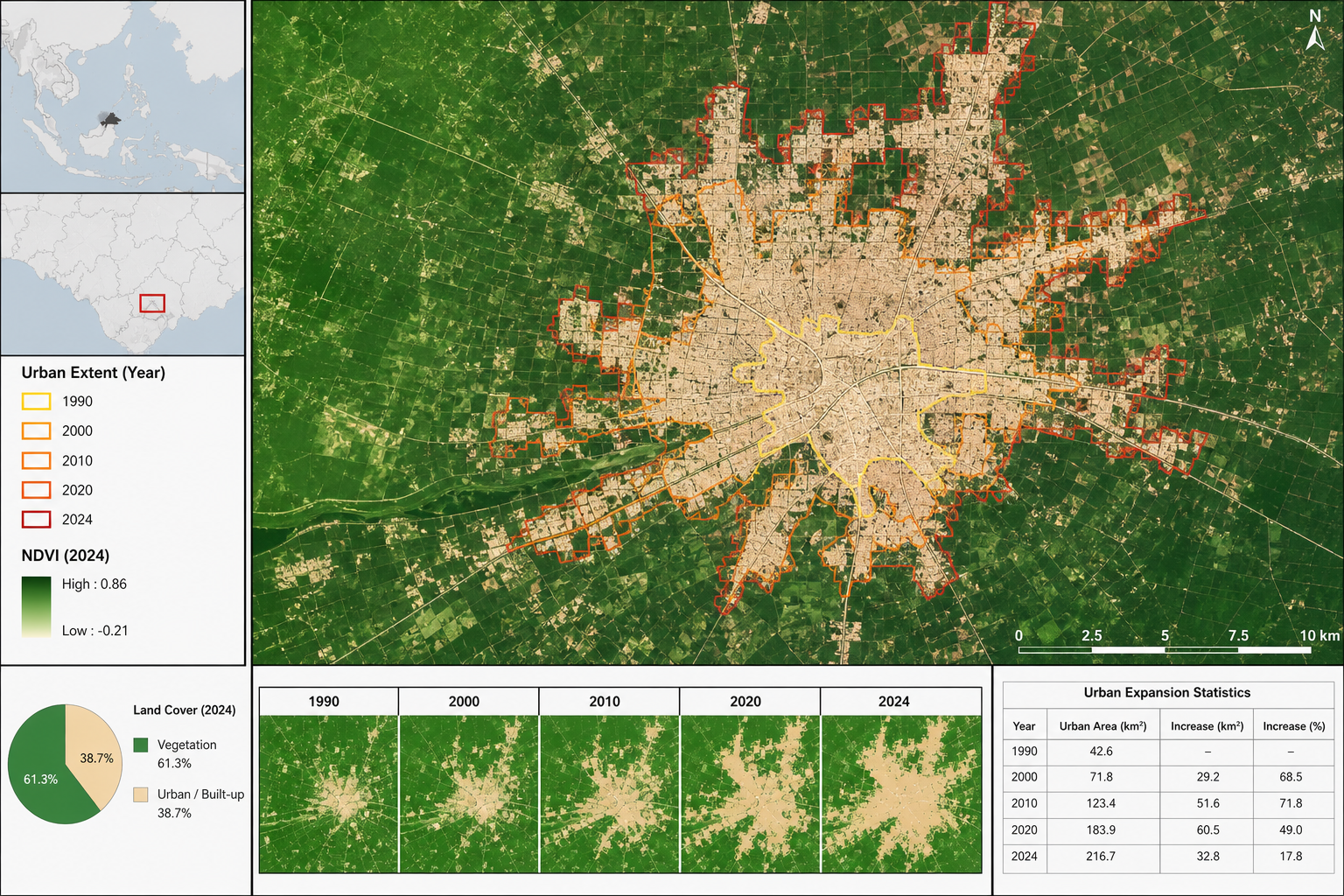
Urban Expansion Analysis
Monitoring urban growth using multi-temporal satellite imagery and assessing its impact on agricultural land.
Giza
2024
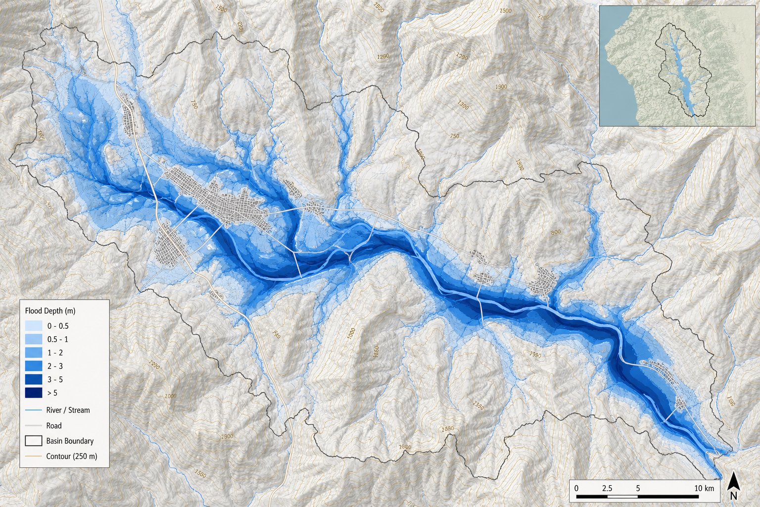
Flood Risk Analysis
Modeling natural hazards and estimating flood levels to support disaster management.