A Personal Portfolio and Professional Profile Website Dedicated to Showcasing Experience and Work, Without Generating Any Revenue or Serving Any Commercial Purpose.
Specializing in Geographic Information Systems (GIS), Remote Sensing, and Geomatics, with extensive professional and academic experience in spatial data analysis, geospatial project management, and advancing knowledge in the field.
+25
Years of Experience
+2
Published Research Papers
+50
GIS Projects
My Expertise
My Areas of Expertise in Geospatial Sciences
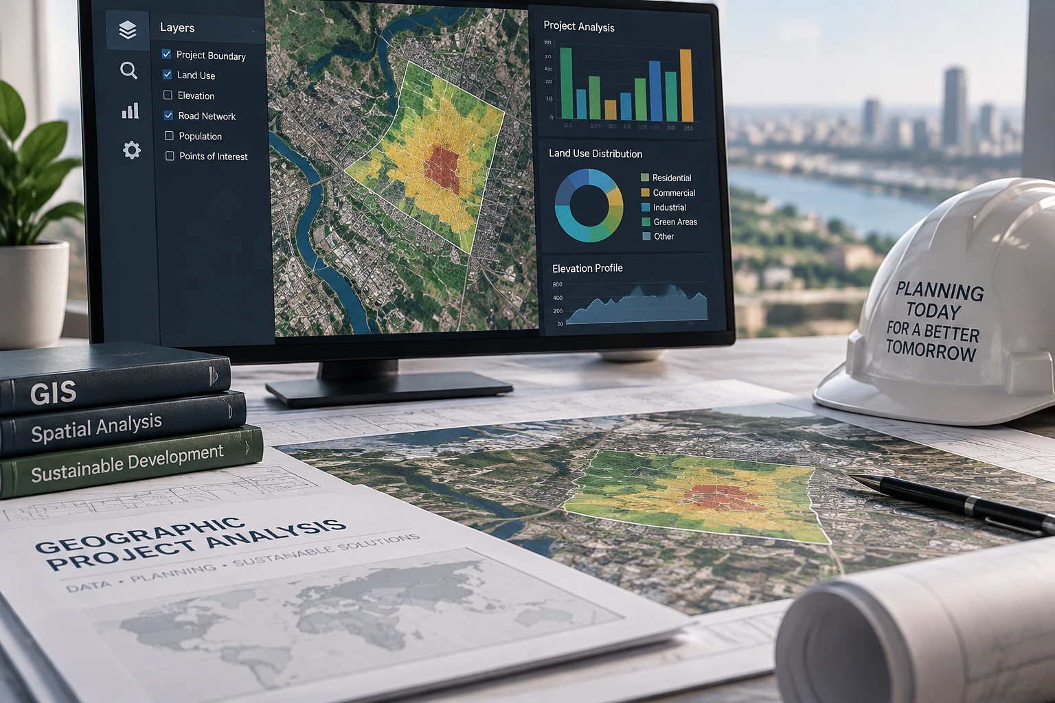
Geospatial Project Analysis
Studying and analyzing spatial data and producing maps and reports to support project understanding and informed decision-making.
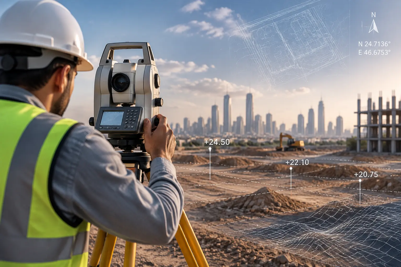
Land Surveying
Expertise in land surveying and producing highly accurate spatial data.
Spatial Analysis
Analyzing geographic data and identifying spatial patterns and insights from diverse data sources.
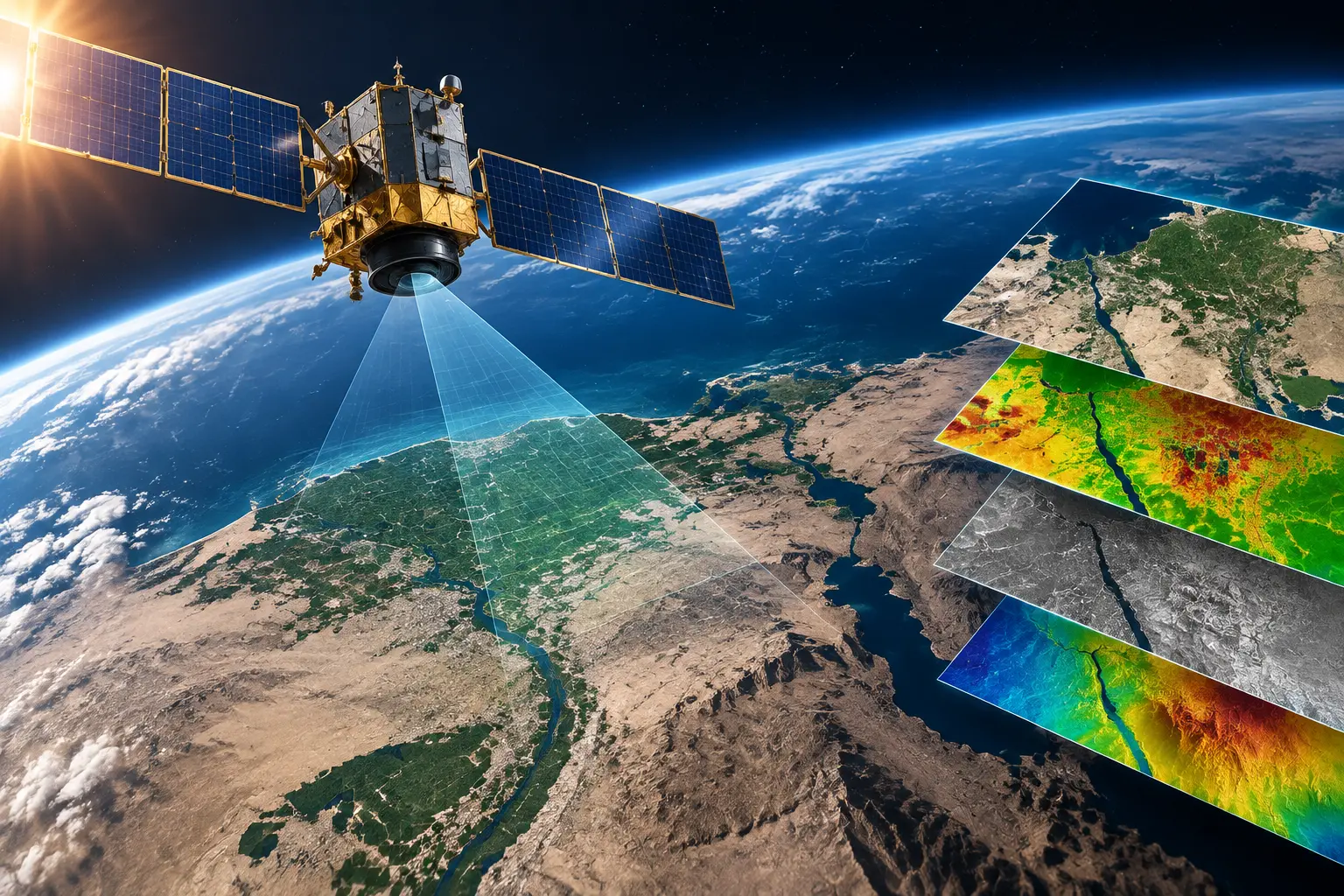
Remote Sensing
Processing and analyzing satellite imagery to extract valuable geographic information and spatial data.
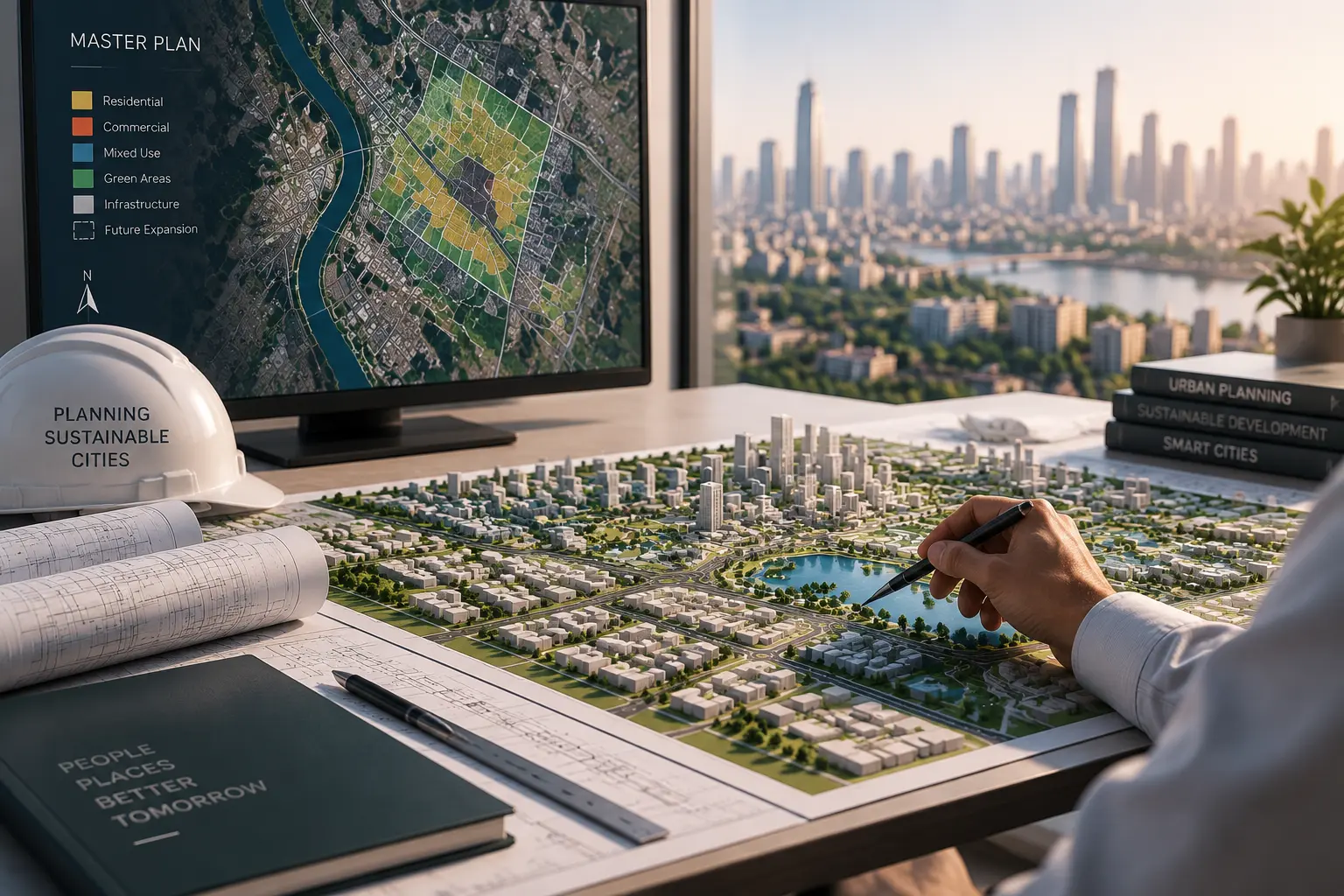
Urban Development Planning
Applying Geographic Information Systems (GIS) to study and analyze urban planning and development.
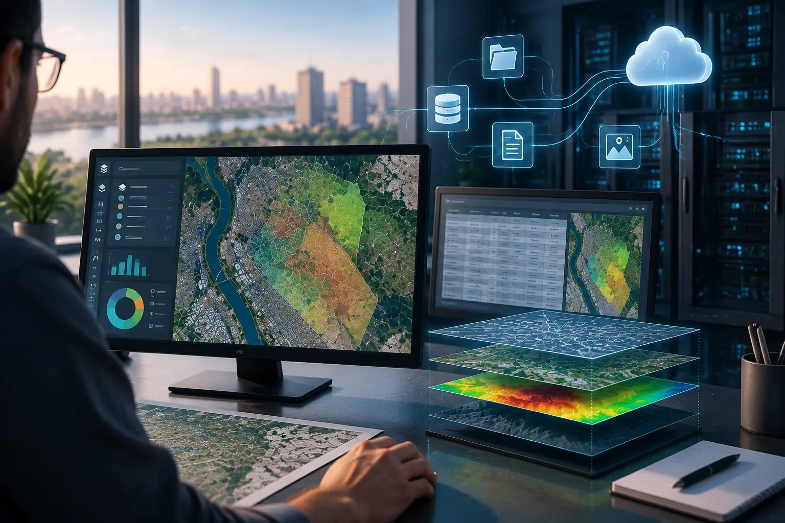
Spatial Data Management
Organizing and managing spatial databases and integrating them with various systems and data sources.
Who I Am
A Passion for Geospatial Sciences, Driven by a Practical Vision
I work in the field of geospatial sciences and Geographic Information Systems (GIS) applications, with a particular focus on spatial analysis, remote sensing, and geographic data management. I continuously strive to enhance my academic and professional expertise through research, training, and participation in specialized projects.
I am committed to advancing both academic and professional practices through research, training, and sharing specialized knowledge and expertise.